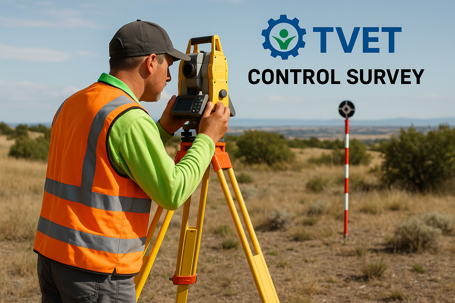
Control Survey – Summary
A control survey is a type of geodetic or land survey that establishes a network of precisely measured reference points (control points) which serve as a framework for subsequent detailed surveys such as topographic, engineering, or construction surveys.
The main purpose of a control survey is to ensure accuracy and consistency across large survey areas by providing a reliable geometric basis. These control points are used as starting or reference positions for mapping and construction activities.
🔑 Key Features:
Establishes horizontal and vertical positions of control points using tools like GPS, total stations, or theodolites.
Control points are often permanent, marked with physical monuments or benchmarks.
Ensures uniformity in measurements across a project or region.
Divided into horizontal control (latitude and longitude or X-Y) and vertical control (el
evation or Z).
- Teacher: Abishark Chirchir